From time to time someone pings me on Findagrave, wondering how to find the Livingston cemetery in Vancouver WA. They ask me because I’ve posted photos of the place, so I must have been there. (I make similar requests of other people.)
It was so long ago, I recently revisited the place to make sure I’m giving the correct location.
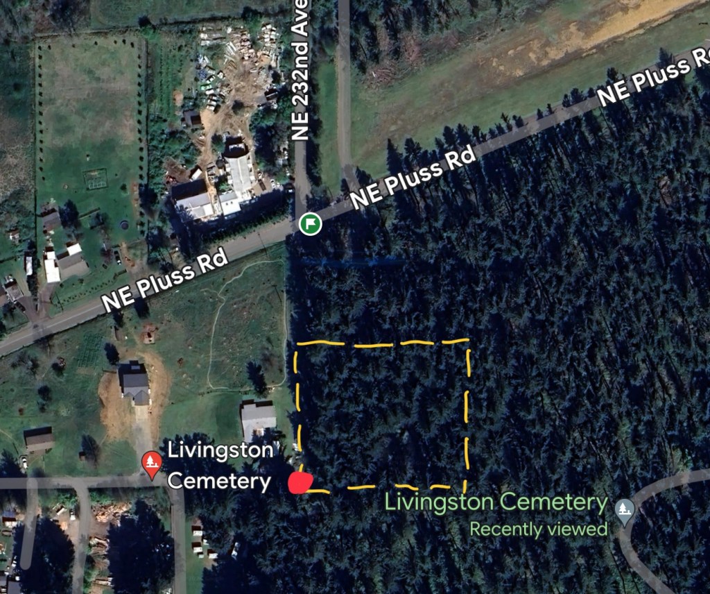
The Livingston cemetery is in the approximate location of the yellow dashed square on this screenshot from Google Maps. The red dot is the approximate location of the end of the driveway. The cemetery isn’t accessed from Pluss Road.
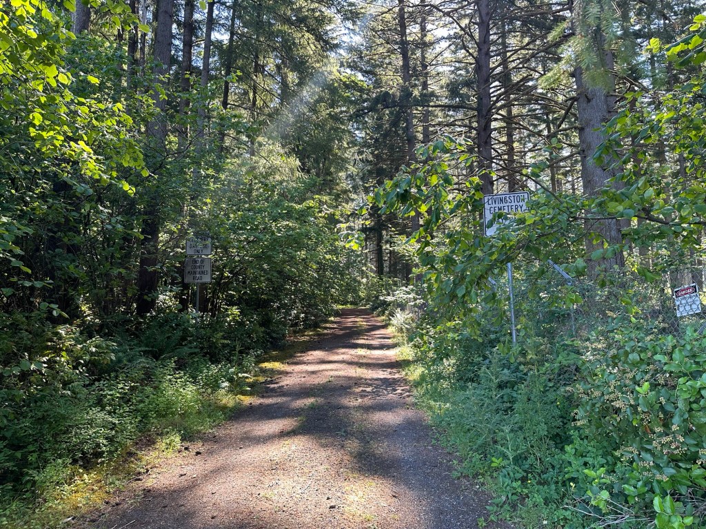
At the eastern end of NE 88th Street, past the last house on the left, is a dirt driveway leading into the trees. As you approach, it seems like the kind of place where you shouldn’t be, the kind of rural neighborhood where big dogs are likely to chase and eat you. It kinda feels like you’re driving into someone’s yard, but sure enough, two signs partially hidden by trees flank the driveway. You’re in the right place.
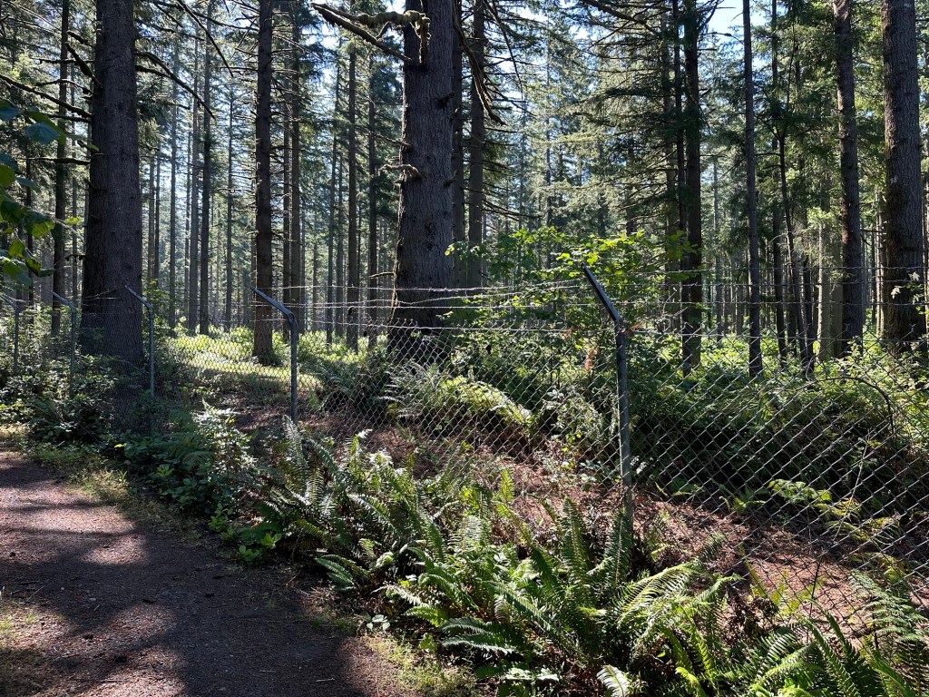
Continue along the driveway, which parallels a chain link fence. That’s Camp Bonneville on the other side of the fence. Don’t try to go in there. It’s monitored.
There’s a small parking area flanked by logs on the ground.
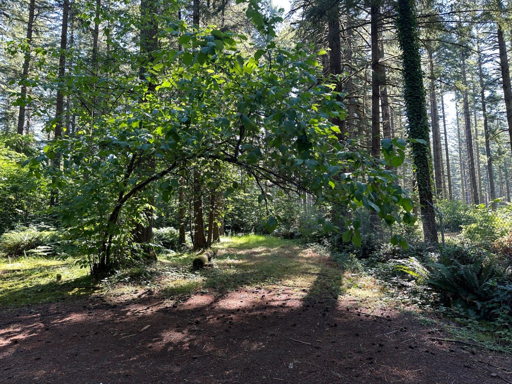
The cemetery is right there.
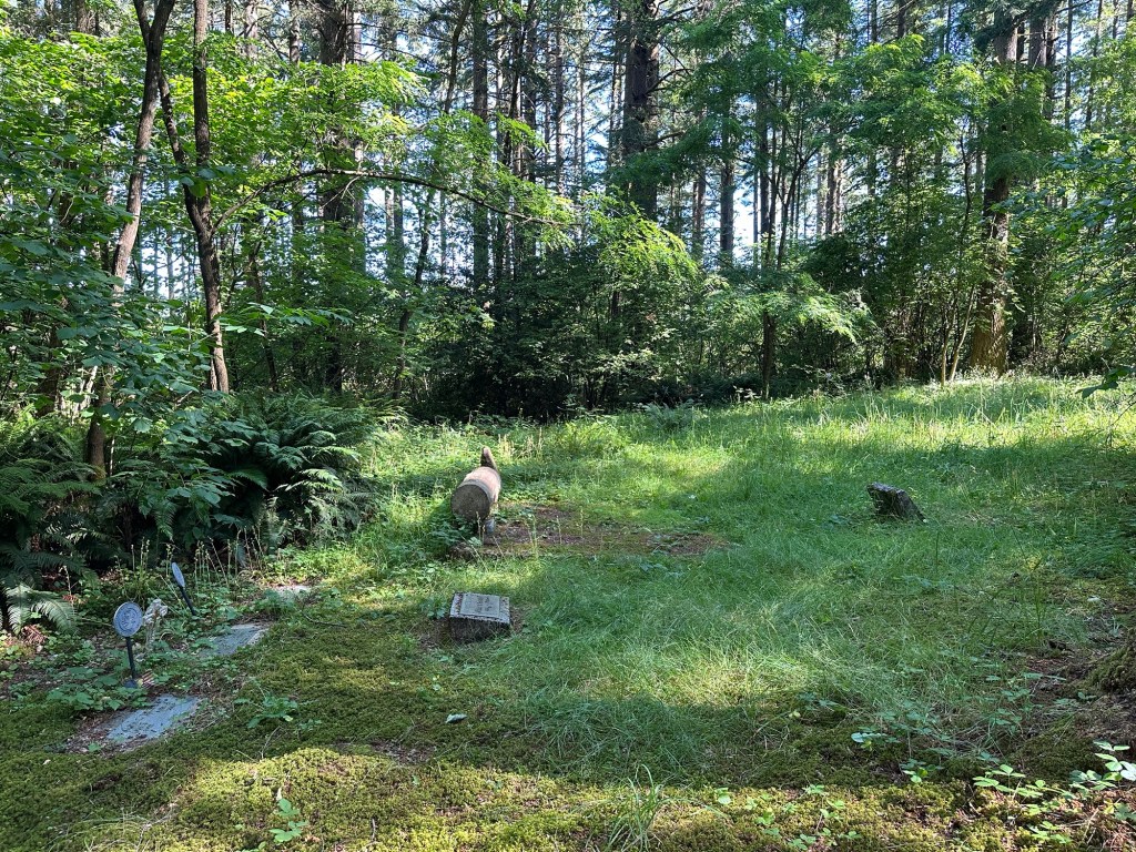
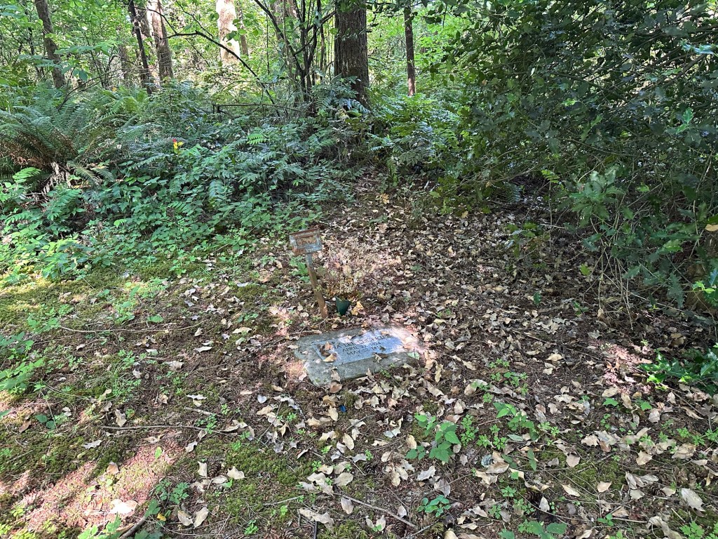
The cleared area of the cemetery is pretty small. I suspect more graves are covered by underbrush.
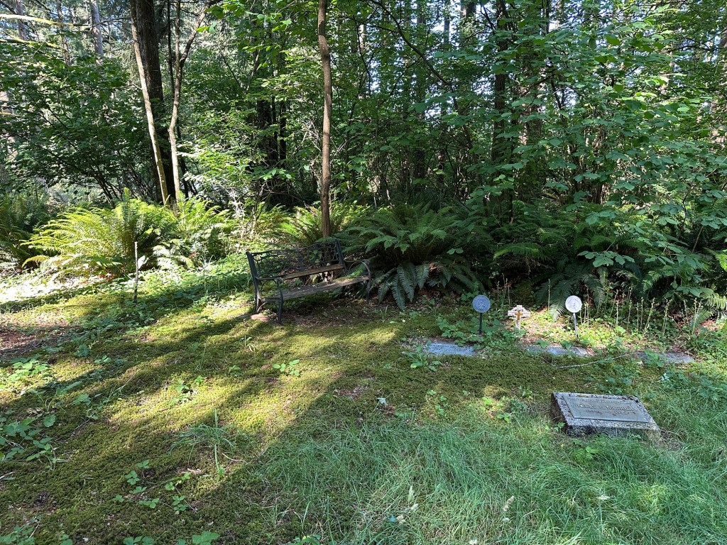
This cemetery could use some TLC, but it’s a pleasant shady place on a hot day.
Stump and Lamb explores personal growth and meaning via travels to pioneer cemeteries of the West.
This post was originally published at michellerau.com.

what a beautiful setting!! You do interesting things, Michelle. Thank you for writing about them, too.
Thank you! It is a nice, shady cool spot. Ahhhh